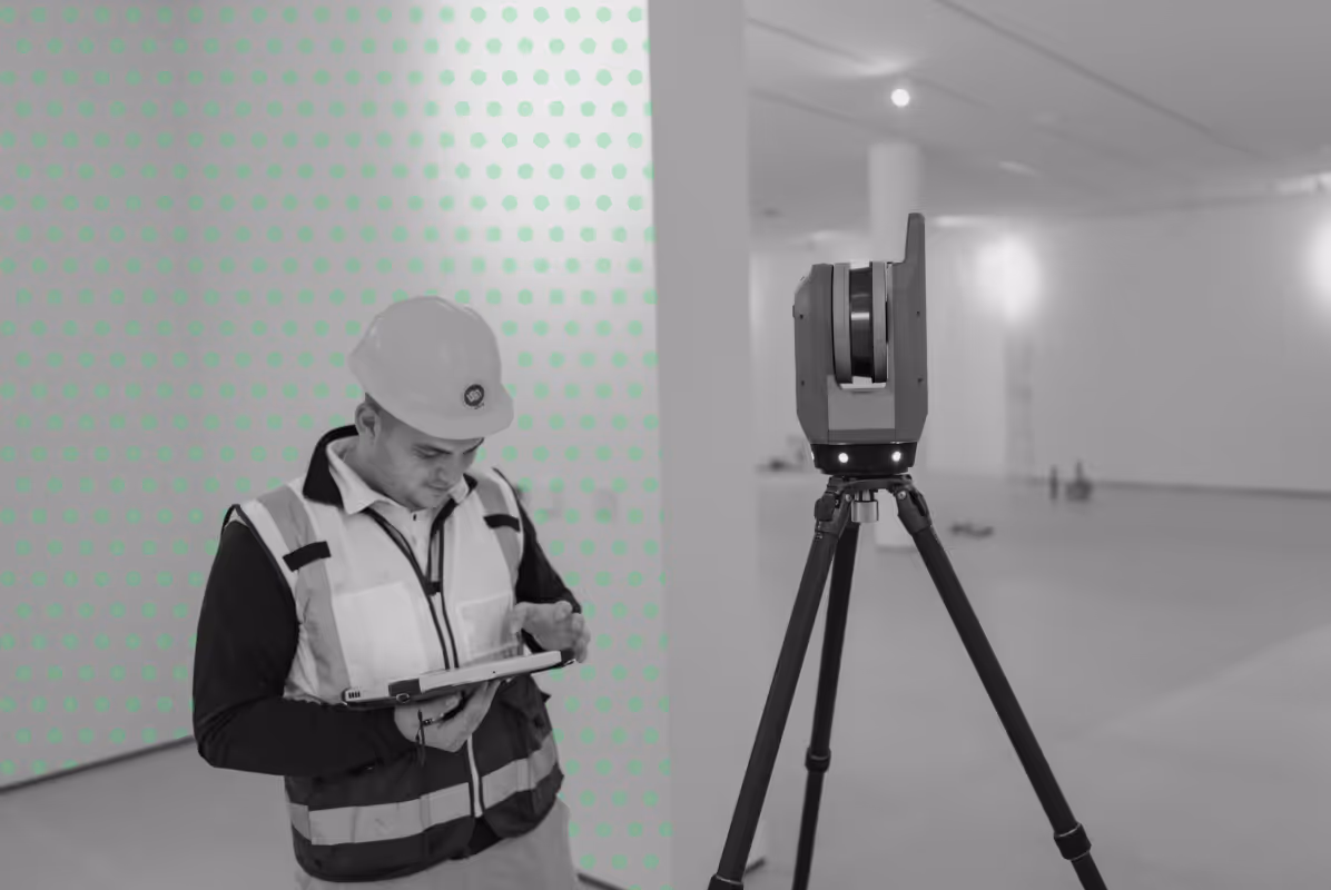
Surveying & Geospatial Services in Abu Dhabi

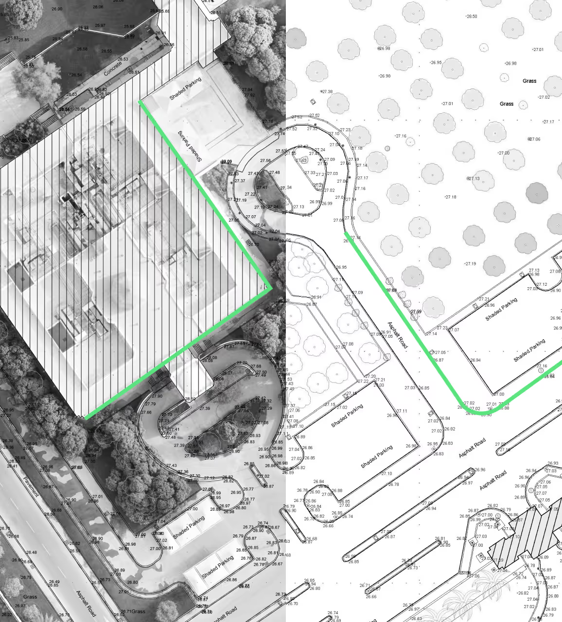
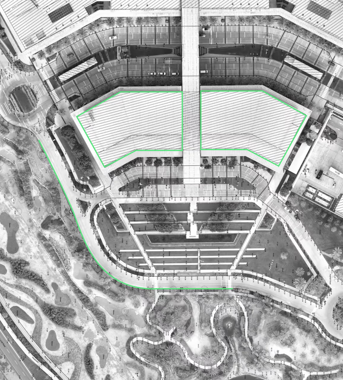
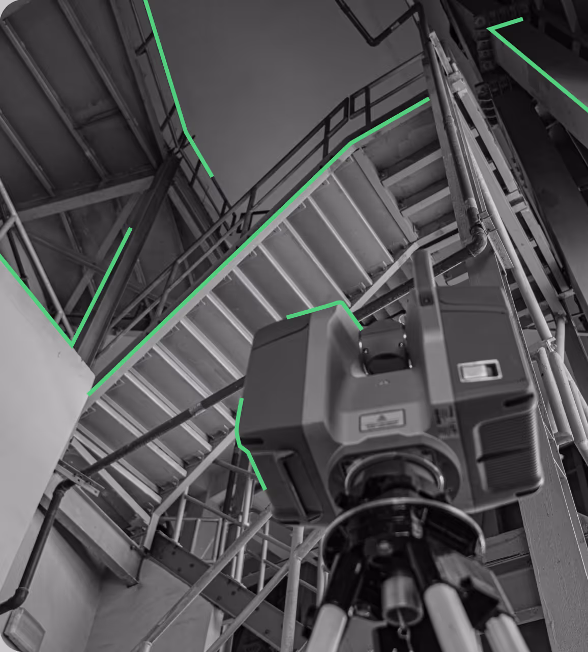
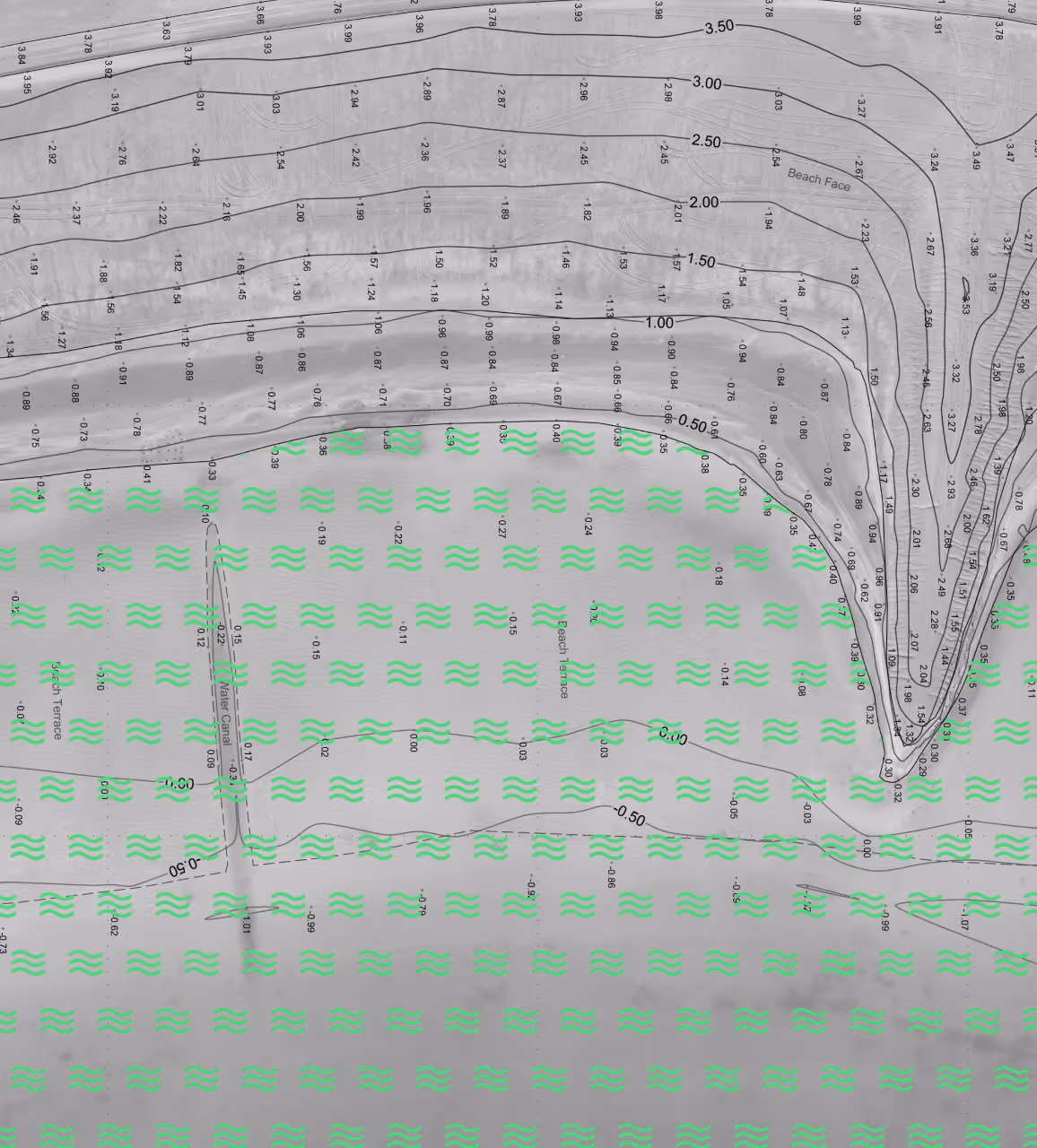
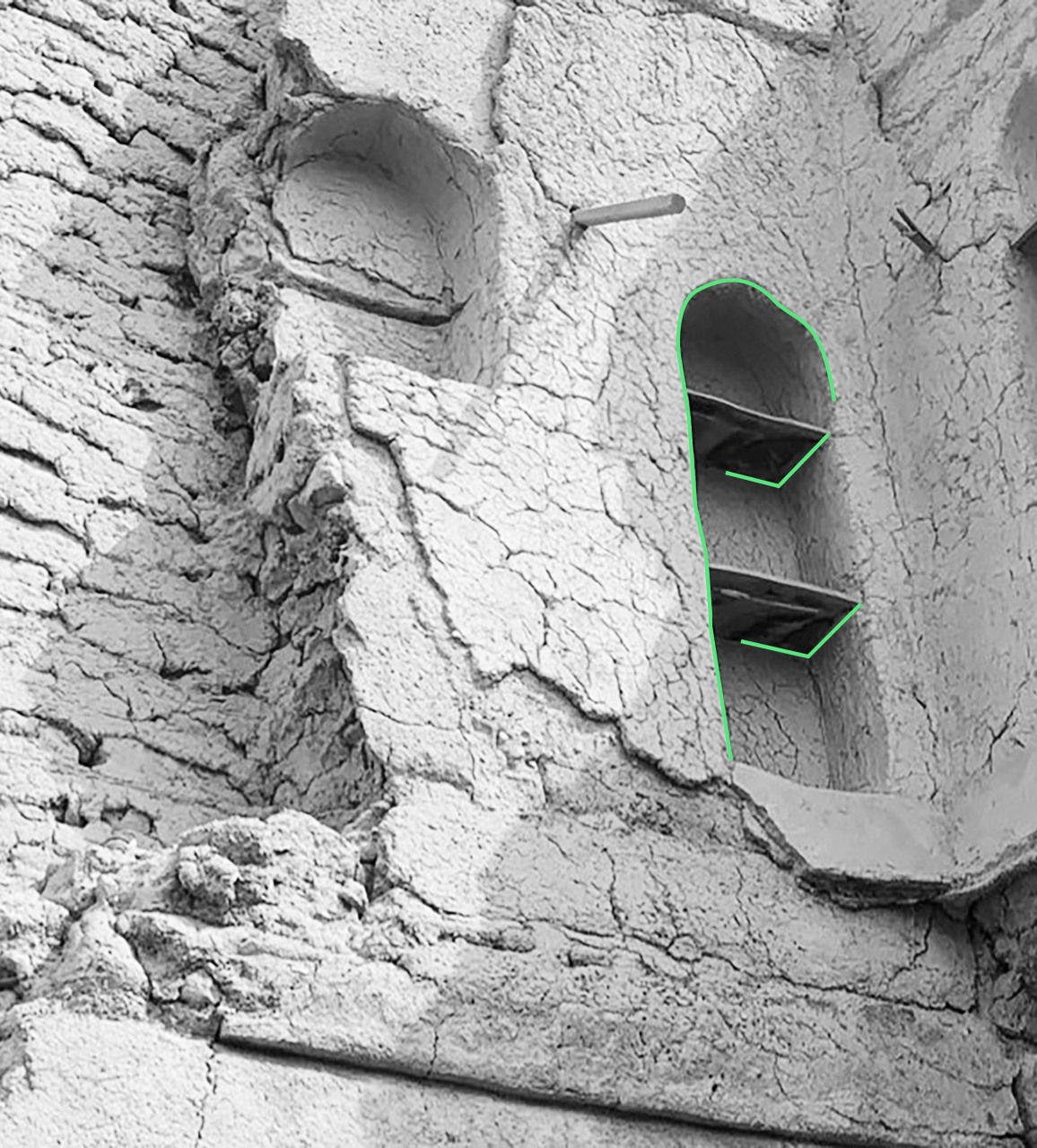
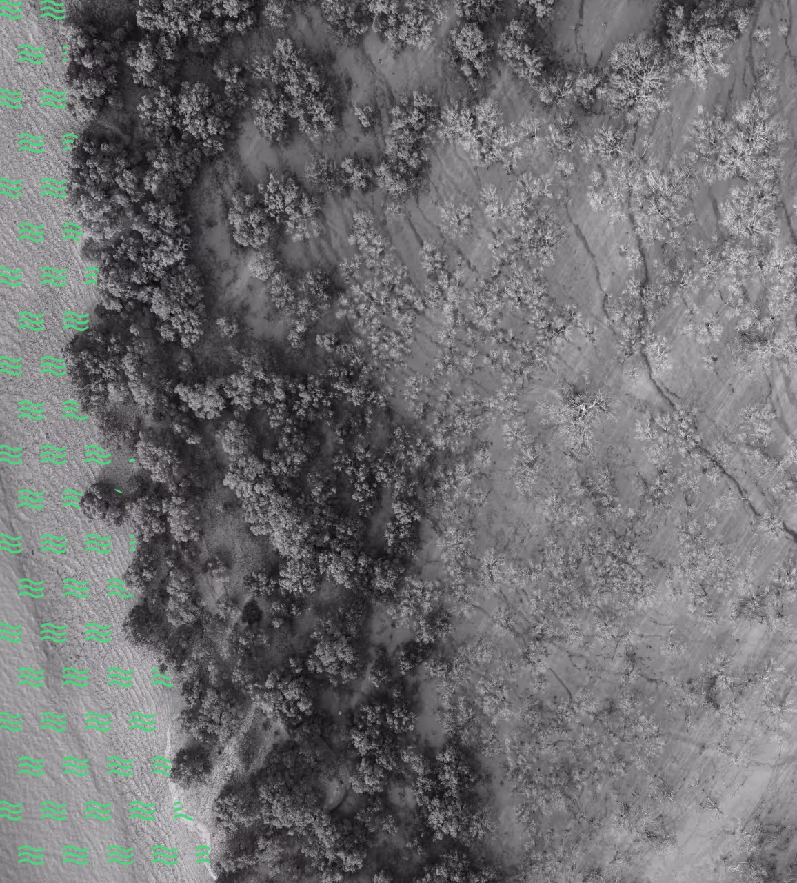
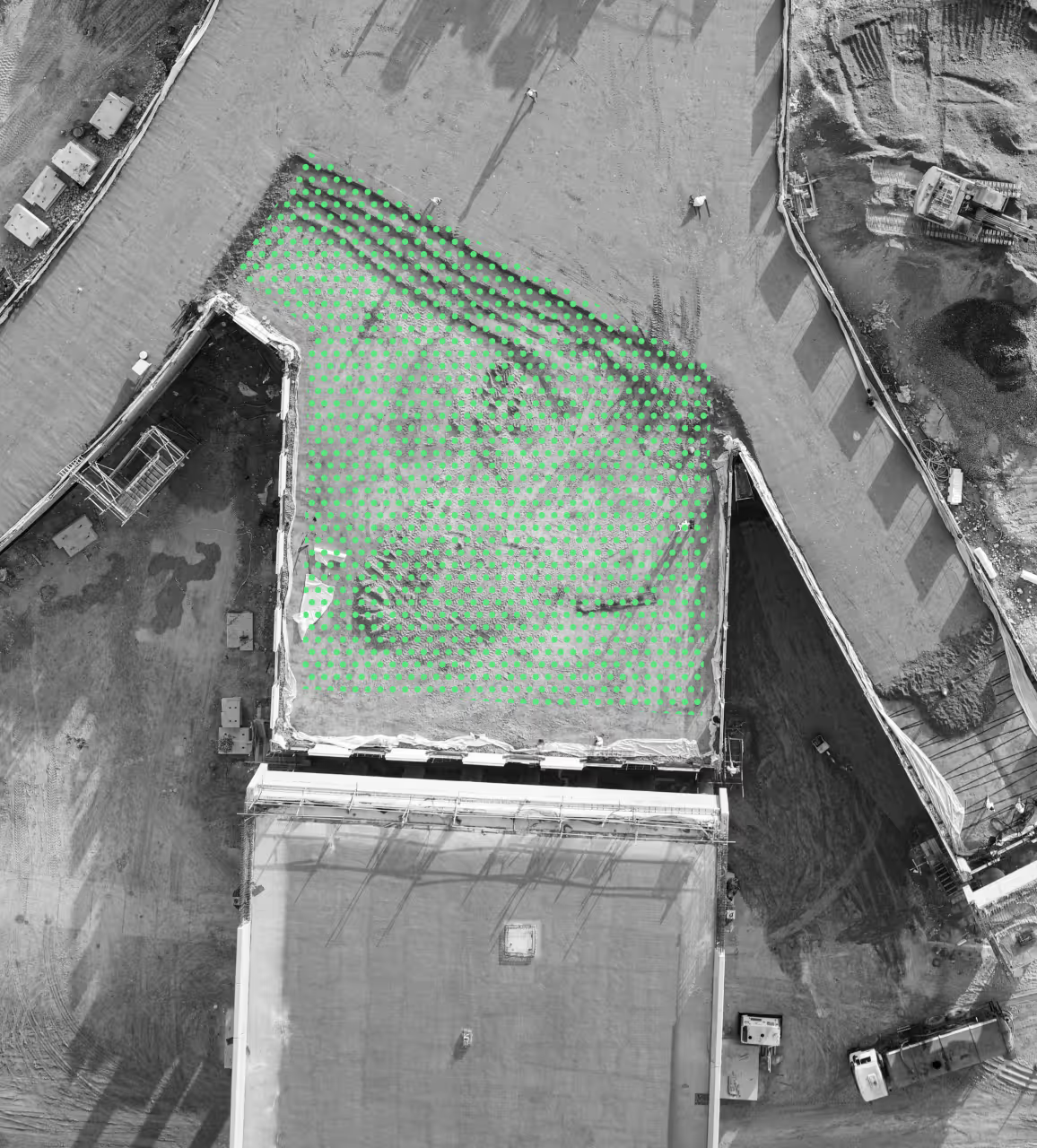
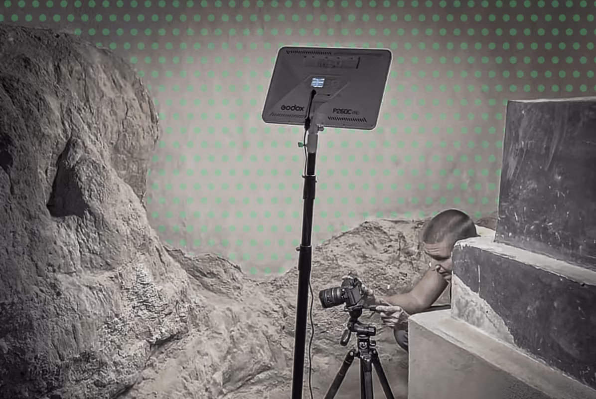
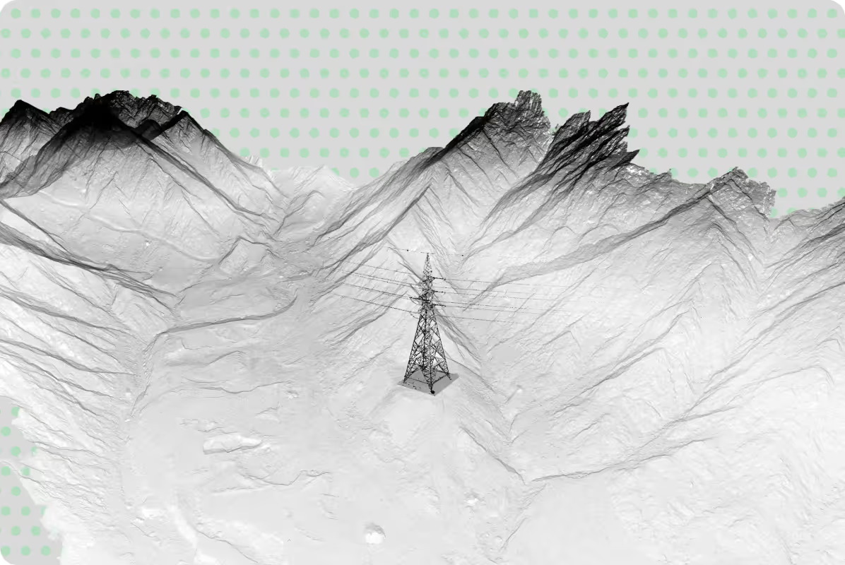
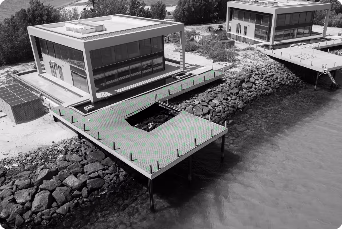
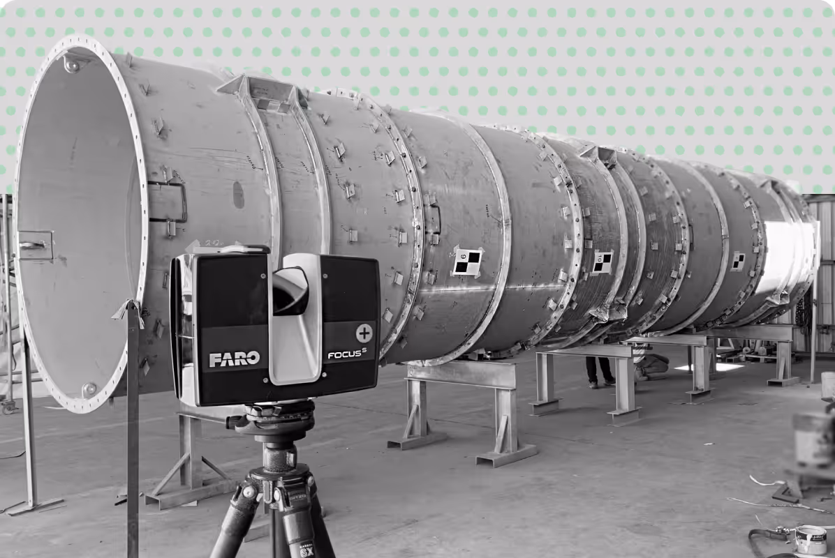
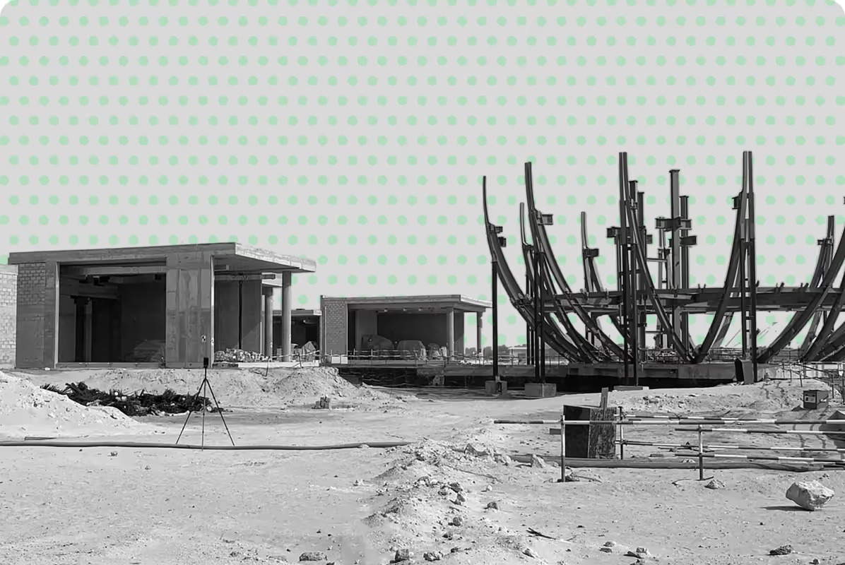
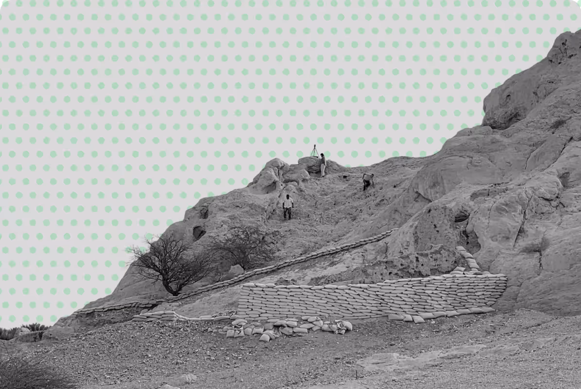
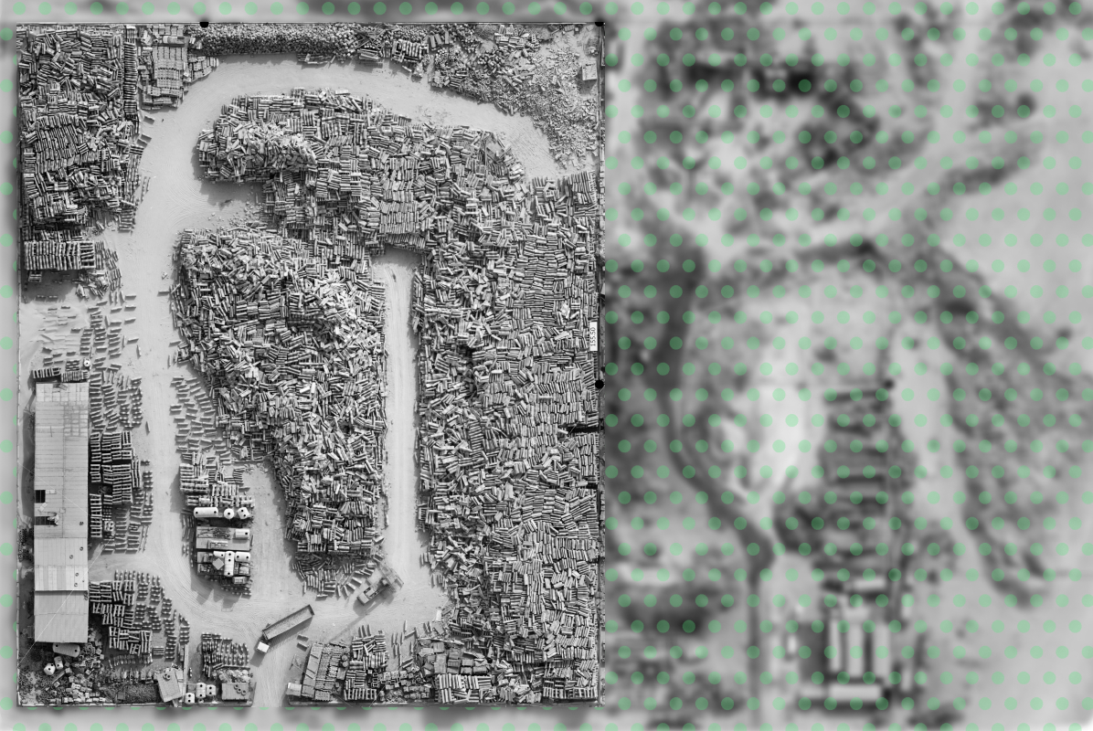
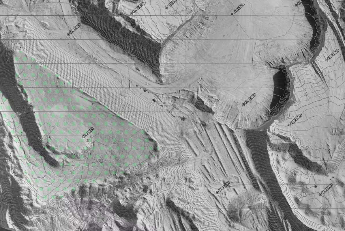
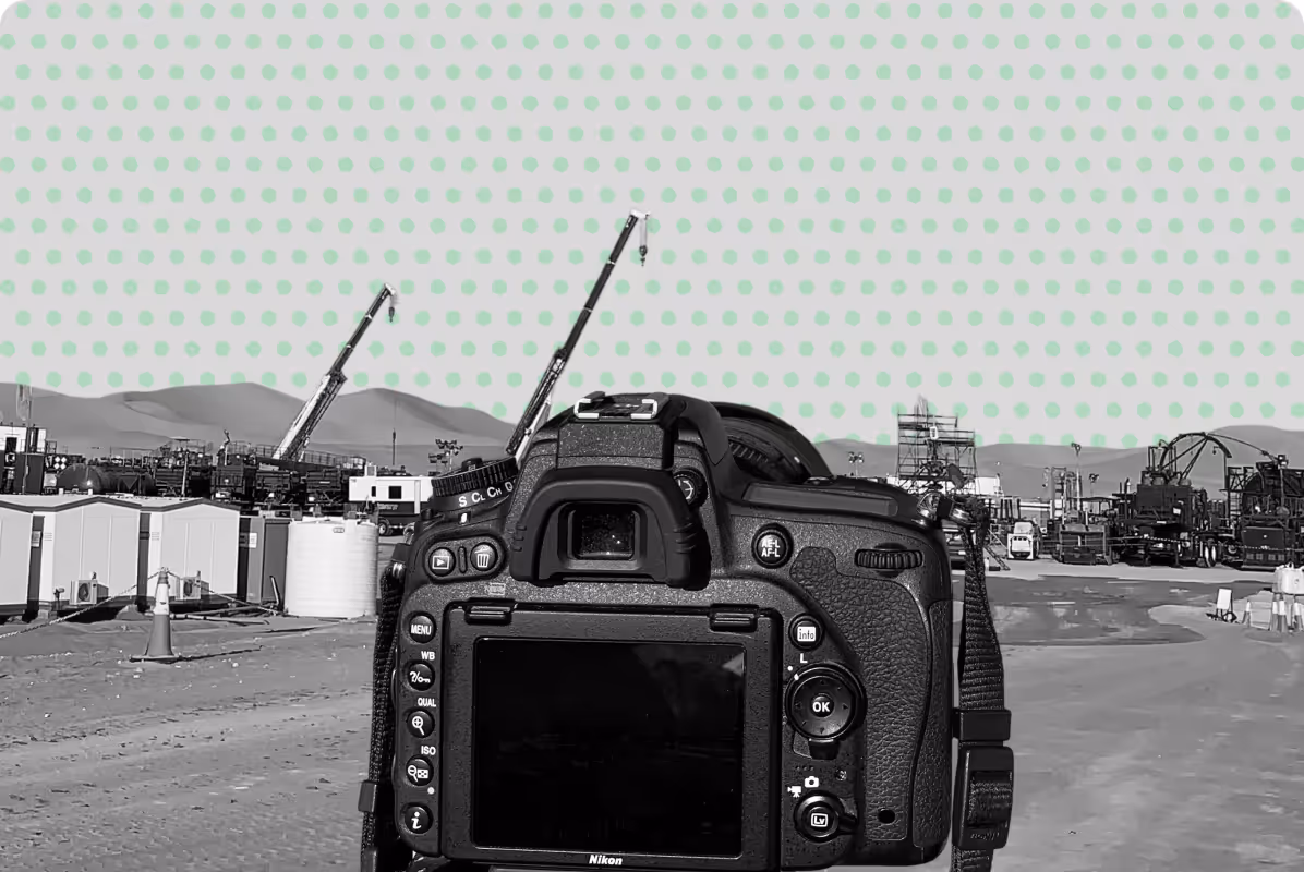
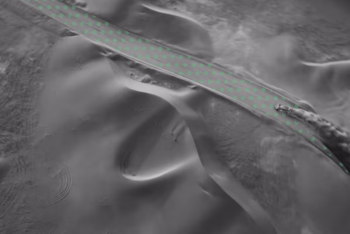
Delivering precise spatial data through land surveying, topographic surveys, 3D laser scanning and GIS mapping, supporting infrastructure, construction, environmental and heritage projects across the UAE.

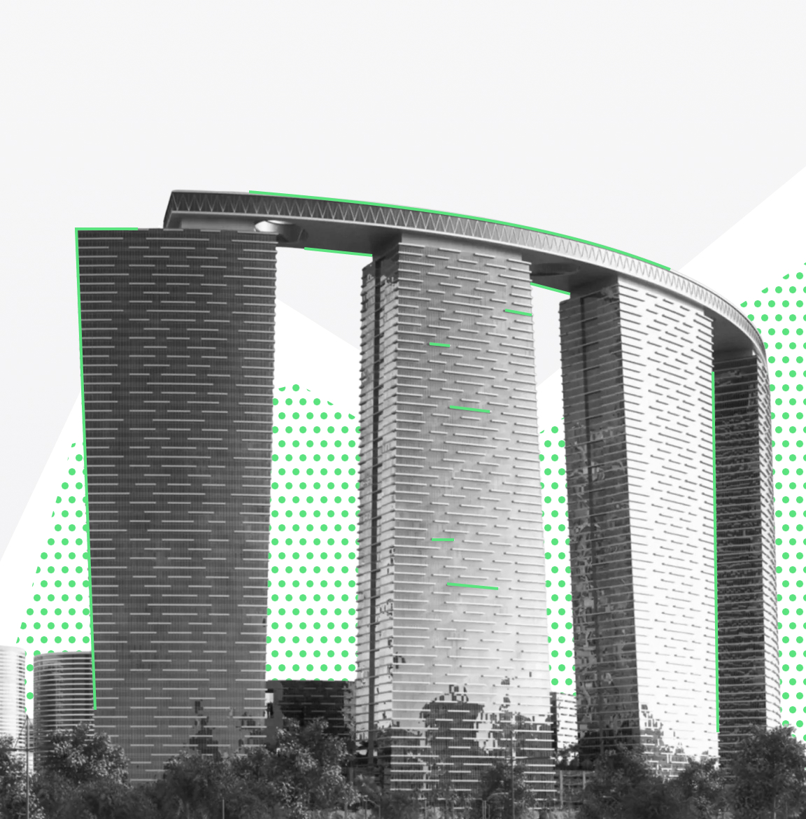
Trusted by developers, engineers and project teams across the UAE.

Get a Quote
[
Solutions
]
Our Core Surveying Services

A range of surveying and geospatial services designed to support every stage of your project.

[
1
]
Topographic Surveys
Accurate land and topographic surveys for site planning, design and construction.
[
2
]
Drone Surveys & Aerial Mapping
High-resolution drone surveys and aerial mapping for large-scale sites, enabling fast and efficient data capture.
[
3
]
3D Laser Scanning
High-precision 3D laser scanning for buildings and infrastructure, supporting accurate analysis and modelling.
[
4
]
Bathymetric Surveys
Accurate bathymetric surveys for underwater mapping, supporting coastal, marine and infrastructure projects.
[
5
]
Underground Utility Surveys
Detection and mapping of underground utilities to support safe excavation, planning and construction works.
[
6
]
Heritage & Archaeological Surveys
Precise surveying and 3D documentation of heritage sites, supporting preservation and digital reconstruction.
[
7
]
Environmental Surveys
Surveying and spatial data collection to support environmental assessments, monitoring and sustainable planning.
[
8
]
GIS Analytics & Mapping
Advanced GIS analysis and mapping to support data-driven decisions across infrastructure and environmental projects.
[
9
]
Engineering Surveys
Accurate surveying solutions to support engineering design, planning and project execution across all stages.
[
10
]
Construction Surveying
Surveying services to support construction activities, ensuring accuracy, alignment and full project control.
[
CASE STUDIES
]
Surveying Projects
Across the UAE

A selection of projects highlighting our surveying and geospatial capabilities
across infrastructure, heritage and environmental work.

View Our Projects
[
1
]

Museum Interior

LOCATION
Al Ain UAE
services
3d laser scanning
[
2
]

Cycle Tracks

LOCATION
Abu Dhabi, UAE
services
Drone Aerial Mapping
[
3
]

Museum Artefacts

LOCATION
Al Ain, UAE
services
HERITAGE & ARCHAEOLOGY SURVEYS
[
4
]

Roads Project

LOCATION
Abu Dhabi, UAE
services
Topographic Surveys
[
6
]

Power Transmission Surveys

LOCATION
Dibba Fujairah, UAE
services
Topographic Surveys
[
7
]

Power Transmission Surveys

LOCATION
Al Dhaid & Al Madam, UAE
services
Topographic Surveys
[
18
]

Decking Inspection

LOCATION
Abu Dhabi, UAE
SECTOR
Dubai Heritage Authority
[
17
]

Decking Inspection

LOCATION
Abu Dhabi UAE
SECTOR
Dubai Heritage Authority
[
16
]

Automotive Industry Brand

LOCATION
Dubai UAE
SECTOR
Dubai Heritage Authority
[
15
]

Hotel Tower Building

LOCATION
Abu Dhabi, UAE
SECTOR
Dubai Heritage Authority
[
14
]

Russian Pavilion

LOCATION
Dubai Expo
SECTOR
Dubai Heritage Authority
[
12
]

Building Measured Surveys

LOCATION
Abu Dhabi UAE
SECTOR
Dubai Heritage Authority
[
11
]

Aerial Photogrammetry

LOCATION
Al Ain UAE
SECTOR
Dubai Heritage Authority
[
10
]

Recycling Plant Inventory

LOCATION
Ajman, UAE
SECTOR
Dubai Heritage Authority
[
9
]

Landfill Operations

LOCATION
Abu Dhabi, UAE
SECTOR
Dubai Heritage Authority
[
8
]

Oilfield Exploration Site

LOCATION
Abu Dhabi, UAE
SECTOR
Dubai Heritage Authority
[
7
]

Power Transmission Surveys

LOCATION
Al Dhaid & Al Madam, UAE
SECTOR
Dubai Heritage Authority
[
6
]

Power Transmission Surveys

LOCATION
Dibba Fujairah, UAE
SECTOR
Dubai Heritage Authority
[
13
]

Liwa Racetrack

LOCATION
Liwa Abu Dhabi
SECTOR
Dubai Heritage Authority
[
4
]

Roads Project

LOCATION
Abu Dhabi, UAE
SECTOR
Dubai Heritage Authority
[
3
]

Museum Artefacts

LOCATION
Al Ain, UAE
SECTOR
Dubai Heritage Authority
[
2
]

Cycle Tracks

LOCATION
Abu Dhabi, UAE
SECTOR
Dubai Heritage Authority
[
1
]

Museum Interior

LOCATION
Al Ain UAE
SECTOR
Dubai Heritage Authority
[
Industries
]

Need accurate surveying data for your project?

Construction & Infrastructure
[FOCUS AREA]
Topographic surveys for site planning and design
Construction layout and as-built surveys
Utility detection and coordination
3D laser scanning for existing conditions
Urban Development & Planning
[FOCUS AREA]
Land surveying for master planning
GIS mapping for land use and zoning
Terrain analysis and site constraints
Survey control for large-scale developments
Environmental & Coastal Projects
[FOCUS AREA]
Environmental surveys and mapping
Coastal and shoreline analysis
Erosion and land degradation
Flood risk and terrain modelling
Agriculture & Forestry
[FOCUS AREA]
Crop health and NDVI monitoring
Irrigation and land use planning
Forestry mapping and inventory
Agricultural yield assessments
Mining & Quarrying
[FOCUS AREA]
Mine and quarry volumetric surveys
Deformation and subsidence checks
Extraction planning and analysis
UAV topographical mapping
Energy & Utilities
[FOCUS AREA]
Transmission power line surveys
Oil and gas infrastructure scans
Renewable energy site mapping
Utility asset data reporting
Heritage & Archaeology
[FOCUS AREA]
Architectural and 3D documentation
Photographic heritage recording
Conservation planning surveys
Master planning of heritage sites
Marine & Coastal Engineering
[FOCUS AREA]
Bathymetric and coastal surveys
Dredging and volumetric studies
Shoreline and mangrove mapping
Marine infrastructure analysis
GIS, Analytics & Data Reporting
[FOCUS AREA]
Construction progress dashboards
Flood and environmental modeling
Asset management reporting
Land use zoning analytics
Construction & Civil Engineering
[FOCUS AREA]
Crop health and NDVI monitoring
Irrigation and land use planning
Forestry mapping and inventory
Agricultural yield assessments
Urban Development & Planning
[FOCUS AREA]
Urban design and master planning
Land use zoning and GIS mapping
Smart city infrastructure analysis
Survey control and layout planning
Environmental Resources
[FOCUS AREA]
Flood risk and watershed studies
Habitat and ecosystem mapping
Erosion and land degradation
Environmental impact assessments
Agriculture & Forestry
[FOCUS AREA]
Crop health and NDVI monitoring
Irrigation and land use planning
Forestry mapping and inventory
Agricultural yield assessments
Mining & Quarrying
[FOCUS AREA]
Mine and quarry volumetric surveys
Deformation and subsidence checks
Extraction planning and analysis
UAV topographical mapping
Energy & Utilities
[FOCUS AREA]
Transmission power line surveys
Oil and gas infrastructure scans
Renewable energy site mapping
Utility asset data reporting
Heritage & Archaeology
[FOCUS AREA]
Architectural and 3D documentation
Photographic heritage recording
Conservation planning surveys
Master planning of heritage sites
Marine & Coastal Engineering
[FOCUS AREA]
Bathymetric and coastal surveys
Dredging and volumetric studies
Shoreline and mangrove mapping
Marine infrastructure analysis
GIS, Analytics & Data Reporting
[FOCUS AREA]
Construction progress dashboards
Flood and environmental modeling
Asset management reporting
Land use zoning analytics

Why Partner With UPGs

Deep Understanding of Abu Dhabi and the UAE

We work across heritage sites, infrastructure and environmental projects throughout the UAE, with a strong understanding of local conditions, regulations and project requirements.

Adaptable Approach to Every Project

No two sites are the same. We adjust our methods to suit your location, timeline and technical scope, ensuring efficient and reliable delivery.

Focused on Project Outcomes

We start by understanding your objectives, not applying a standard template. This ensures the data we deliver is relevant, usable and aligned with your project needs.

Practical Data, Delivered with Precision

We combine advanced surveying technologies with a practical approach, providing accurate data that can be directly used for planning, design and decision-making.

Discover next-level solutions with UPG Surveying